• How do clouds form?

    How many types of clouds are there?

Clouds form when water vapour in the air condenses, and for this to happen, the temperature must drop while the pressure remains constant.

In addition, the differences in cloud formation between cloud types are based, in part, on the different condensation temperatures. For example, when condensation occurs at temperatures below freezing, we will have clouds formed by water crystals; whereas, when it occurs at higher temperatures, we will have clouds formed by water droplets.

On the other hand, the air currents present during condensation also play an important role. If there is a light wind, clouds will form in the form of stratus, while if they form in strong winds, we will have clouds with a broad vertical development.

But let’s see how the different types of clouds form in detail.

How do high clouds form?

High clouds form at altitudes above 6000 metres in mid-latitudes. Because the air at this altitude is very cold and dry, high clouds are made up of almost nothing but ice crystals.

Moreover, high clouds do not produce precipitation, but they can indicate the arrival of a front in the next 24 to 36 hours.

Below, we review the types of high clouds and how each one forms.

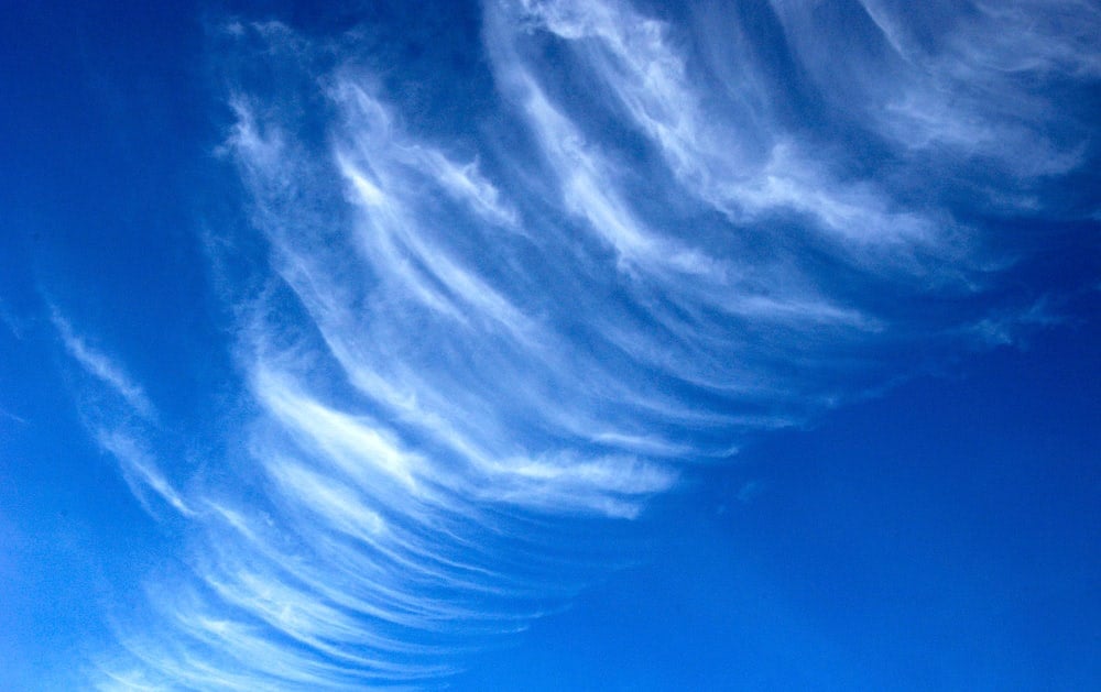
Cirrus Ci

These are white, transparent, filament-like clouds. They are made up of ice crystals.

Cirrus clouds indicate the approach of a front or disturbance in the upper layers. In fact, a large number of cirrus clouds can indicate the approach of a typhoon or hurricane.

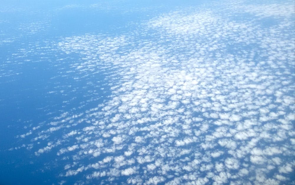
Cirrocumulus Cc

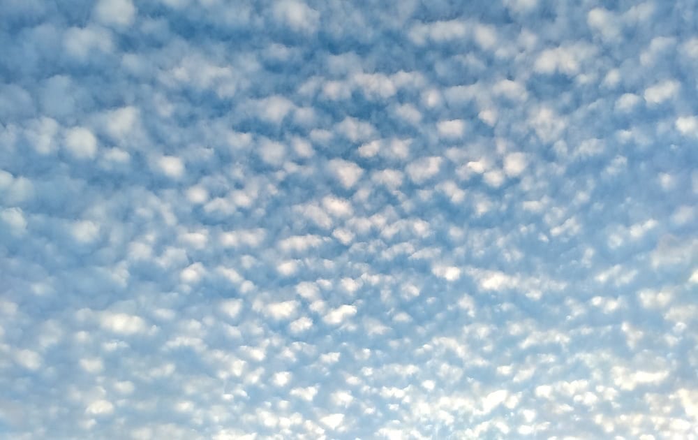
This type of cloud, located between 6000 and 12000 metres altitude, is composed of small, thin, white areas, which are made up of grains or waves. Of course, being high clouds, they are made up of ice crystals.

Cirrocumulus clouds are formed from cirrus clouds heated by the Earth radiation, which is why they are always associated with cirrus and cirrostratus.

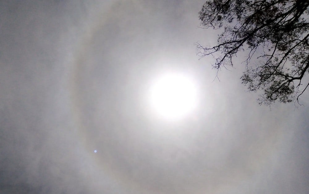
Cirrostratus Cs

This type of cloud is clearly identifiable because it forms a kind of white veil that partially or completely covers the sky, generally giving rise to the halo effect.

How do medium clouds form?

These are the clouds that form between 2000 and 7000 metres altitude. Medium clouds are mainly made up of water droplets, although, if the temperature is low enough, they can contain ice crystals.

Let us now see what types of medium clouds there are, how they are formed and how they can be distinguished.

Altocumulus Ac

These are banks of white or grey clouds that generate their own shadows. They are composed of small pebbles of similar appearance and may appear connected or separate.

Occasionally altocumulus clouds may appear in the shape of a ‘castle’, forming so-called altocumulus castellanus. This indicates instability in the layer in which they form and, although they generally do not produce precipitation, they can predict precipitation for the last hours of the day.

Altostratus As

This type of middle cloud forms a whitish, greyish or bluish blanket that partially or completely covers the sky, but with some areas thin enough to allow the sun to be seen.

They are easily distinguished from cirrostratus clouds because altostratus clouds do not generate a halo effect.

Nimbostratus Ns

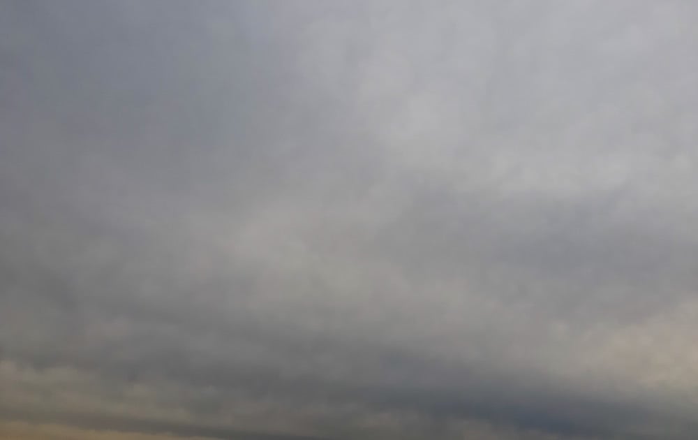
These clouds form a uniform-looking, greyish, cloudy layer. They are thick enough to prevent the sun’s rays from passing through them. In addition, nimbostratus clouds produce widespread rain and reduce visibility.

How do low clouds form?

Low clouds are clouds that form below an altitude of 2000 metres.

Low clouds are the warmest clouds and are mainly composed of water droplets, although in cold climates they may also contain some ice crystals.

Here we tell you what types of low clouds there are and how they are formed.

Stratus St

These are layers of grey clouds with a uniform base that generally cover the entire sky. They can be described as a kind of fog that does not reach the ground and can sometimes cause drizzle.

Although a thick layer of stratus could easily be confused with nimbostratus, a clear difference is that stratus has a much more uniform base.

Stratocumulus Sc

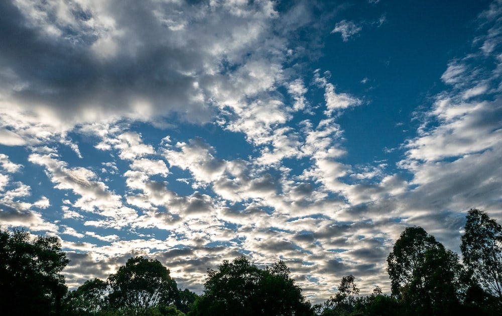
Stratocumulus clouds form a blanket of patches of white or greyish clouds. It is usually possible to see blue sky through them.

They have similar characteristics to altocumulus clouds, with the difference that stratocumulus clouds, being lower, will appear larger in size.

This type of low cloud does not usually produce rain or snow.

Vertically developing clouds

Cumulus Cu

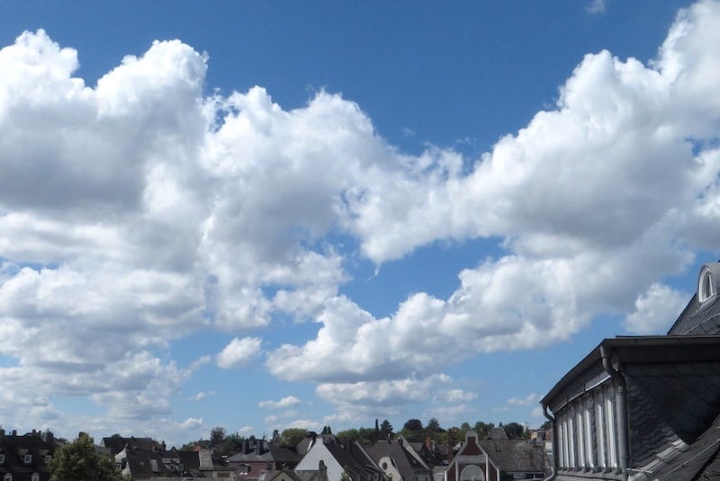
Although cumulus clouds can come in all shapes and sizes, they are generally cotton-wool shaped, with clearly defined outlines and a flat base.

Cumulus clouds with slight vertical development are called cumulus humilis, and are associated with good weather, hence the name “good weather cumulus clouds”.

When they are small, and look like ‘little pieces’ of cloud, they are called cumulus fractus.

When they grow larger, and the upper part becomes cauliflower-shaped, they are called cumulus congestus. These produce precipitation in the form of showers.

Cumulonimbus Cb

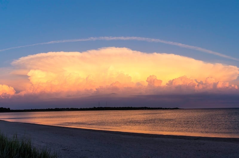
When cumulus congestus continue to grow, cumulonimbus clouds are formed: clouds with a large vertical development, whose base can be 600 metres above the ground, and their upper part can extend up to 10,000 metres.

Cumulonimbus clouds are particularly dangerous, even for commercial aircraft, as large thunderstorms or heavy hail can form inside them.

Other clouds types

We have already talked about the main types of clouds that exist and how do they form, but there are other types that, although they are not very common, deserve to be recognised.

Below, we take a brief look at each of them.

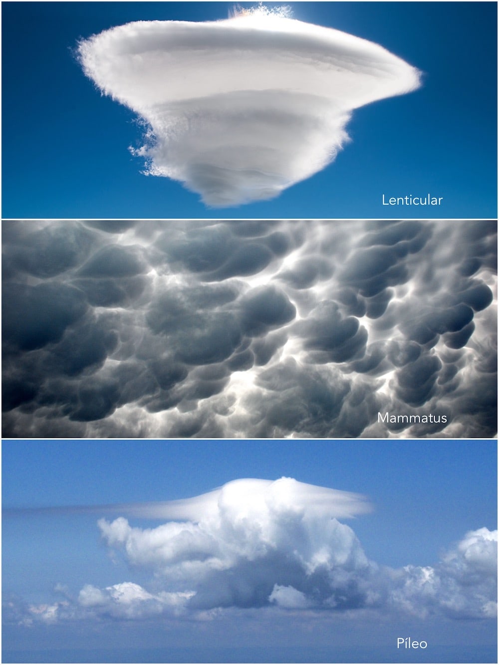
Lenticular

As the name suggests, this type of cloud is shaped like a lentil. This phenomenon occurs when a cloud is enveloped in the air currents of a mountain wave, which sculpts it into its characteristic shape.

Fractus

These are irregularly patterned clouds that look like pieces of cotton wool, appearing and disappearing with great speed. Only applied to stratus and cumulus clouds.

Humilis

They indicate slight vertical development and are usually associated with good weather.

Undulatus

Horizontal cloud layers that have an undulation at their base.

Mammatus

These are probably the most spectacular type of cloud to observe. They originate when several cells combine to form large compositions. Can occur with cirrus clouds, altocumulus, altostratus, stratocumulus, and cumulonimbus.

Pyleus

A cap-shaped cloud, very similar to a lenticular cloud but with the difference that, in this case, it is attached to the top of a cumuliform cloud.

You may be interested in…