DRONE PILOT JOBS
A profession with thousands of job opportunities.
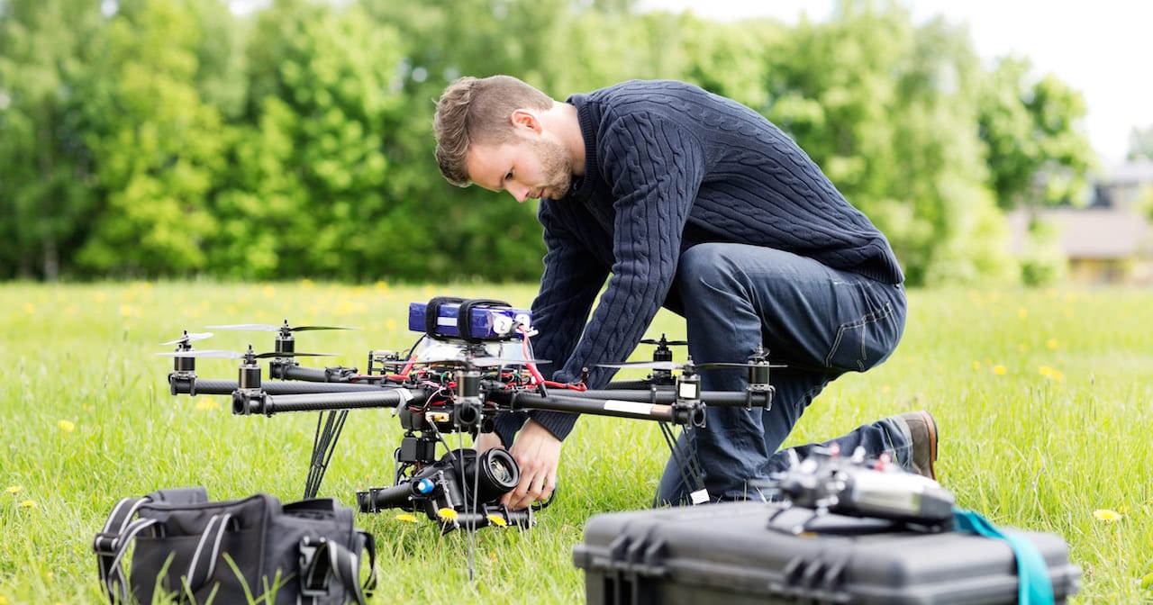
A profession with thousands of job opportunities.
The number of job offers for drone pilots has increased exponentially worldwide, including in Spain. What a few years ago promised to be the revelation profession has turned out to be much better, because nobody would have imagined the number of applications that RPAS have today.
Without a doubt, drone pilots are one of the most fashionable and promising professions today. Job offers for drone pilots are already commonplace on the various job boards.
In this article, we tell you about the career opportunities when studying a drone course and what job search sites for drone pilots currently exist.
Also, so that you are always informed about everything related to safety and current legislation, we invite you to check this post about the drone regulation in Spain or this one about the new European regulation that comes from EASA.
DRONE PILOT COURSE
Official License + Drone Ratings
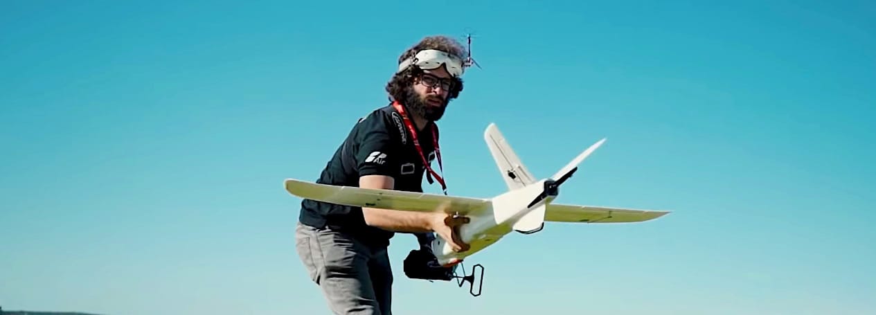
You’re probably asking yourself when talking about job offers for drone pilots specifically, what jobs are we talking about?
The list, a priori, may seem endless: drone mechanic, data analyst, camera operator, fire prevention and suppression, pest controller, sea rescue, land rescue, and even reforestation work.
But that’s not the end of it, no. You can also devote yourself to filming films and documentaries, aerial photography with drones, field cultivation, agricultural spraying, surveillance, drones for military use or geolocation work.
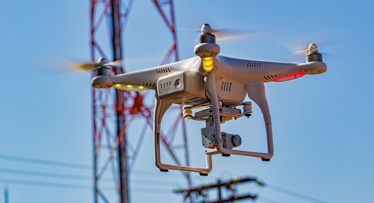
The use of drones for powerline inspections is one of the most promising areas of work
And if this doesn’t sound like much, here’s more: recording of advertising spots, drone design and production companies, the aeronautical sector, architecture or security and surveillance.
And also journalistic reporting, cleaning at heights, decoration, building inspection, telecommunications work, reforms, shows, and the already well-known reports of events and weddings with drones.
To make your task a little easier, here is a list of sectors where you can find job opportunities for drone pilots.
Aerial Photography
Professional Photography
Business / Corporate Photography
Aerial photography for events
Photography for promotions
Photography Town Halls / Institutions
Photography for printing works
Online advertising photography
Photography for photobanks
Real Estate Photography
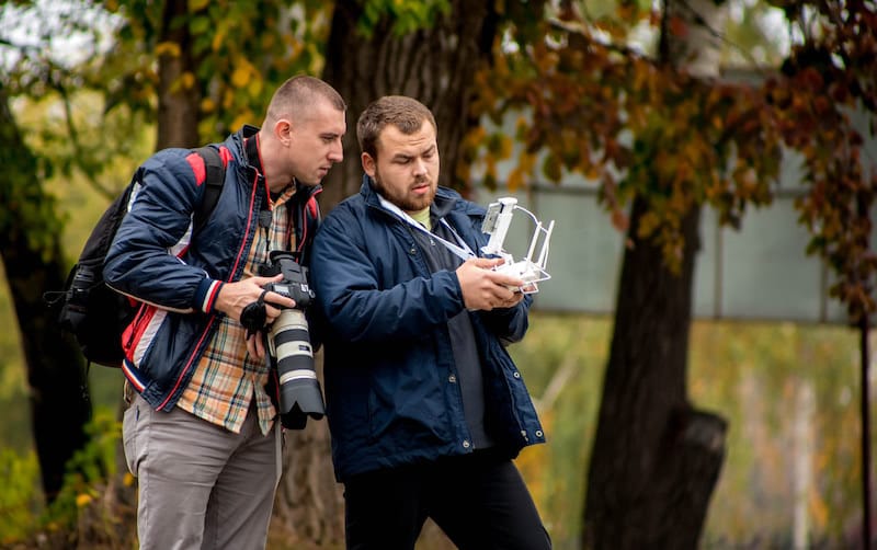
Professional Videos
Corporate Videos of Companies
Videos of events
Institutional videos
Filming Films
High-resolution 4K audiovisual recording
Filming of publicity reports
Documentary videos
Aircraft Videos for Insurance Companies
Advertising Video

If you want to be inspired by both aerial photography and videography, we recommend you to visit the One Air Pictures website. Their team of videographers specialises in audiovisual production with drones of all types of work, from wedding video to corporate video design.
We show you on video, how the inclusion of drone shots can make a difference in video works.
Control and surveillance
Forest Control
Road supervision
Control and safety at work
Fire Prevention
Crop Control
Emergency Assistance
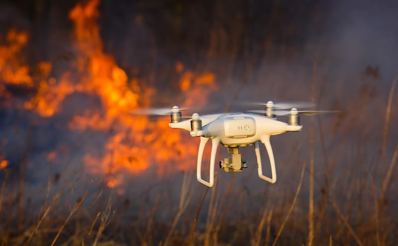
Fire assistance
Security and civil protection
Perimeter surveillance
Sea Rescue
Monitoring of hard-to-reach areas
Remote Assistance
Drones in Maintenance
Media and Press
Distribution of orders (pending legislation)
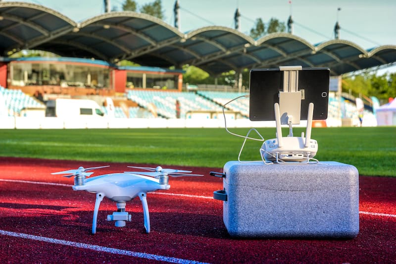
Drones for sports event tracking
Drones for Athlete Workout Control
Checking the state of installations
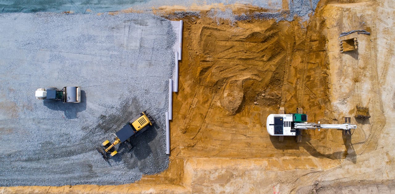
Construction and infrastructure supervision
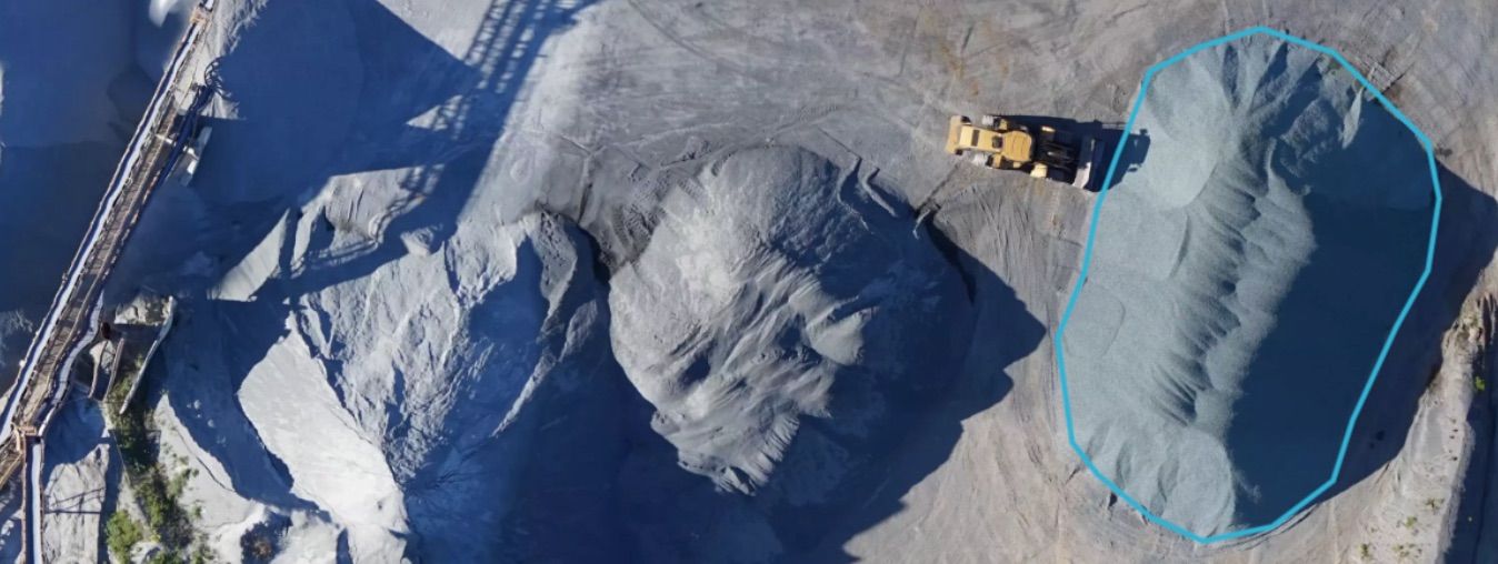
Volumes and 3D surfaces
Elevation Maps
Drones for Cartography
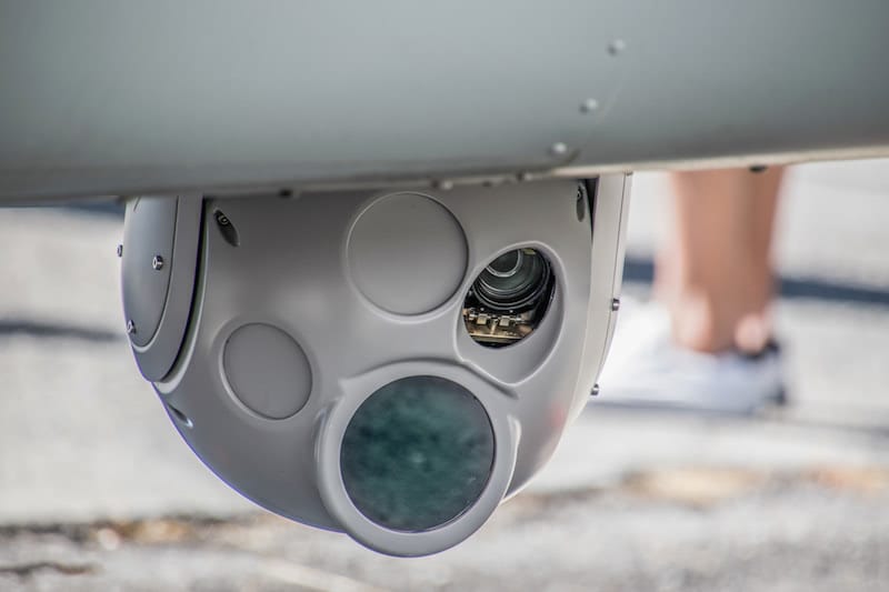
Drones with Thermographic Cameras
Inspection of solar panels
Industrial inspections
RPAS for use with multispectral cameras
Drones for Geology
Aerospace Drones
RPAS for Photogrammetry
Drones for Topography
Drones for Geomatics
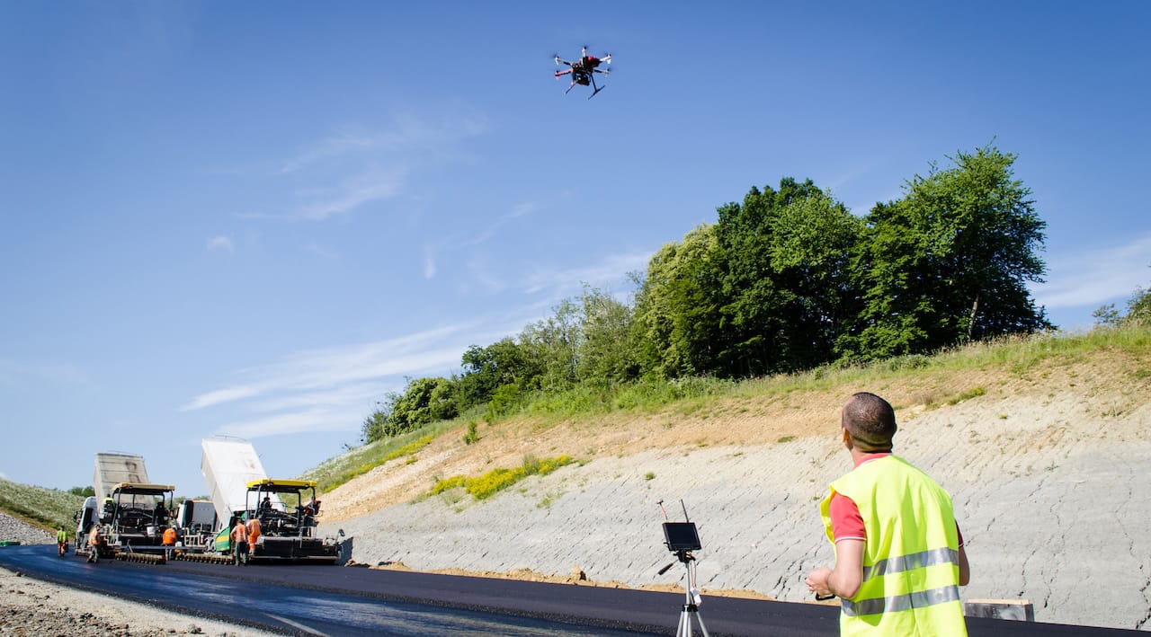
Hiring drone pilots for business services, such as checking inventory at a construction site or monitoring the condition of crops on a farm, is a reality — a potential multi-billion euro market where large companies can lower many production costs.
Agriculture, fumigation and crop control
Environment
Soil temperature control
Climatology in different areas of plantations
Orthophotos
Vigour Indexes (NVDI)
Forensic science
Archaeology
Meteorology
Climate studies
Oceanography
Geology
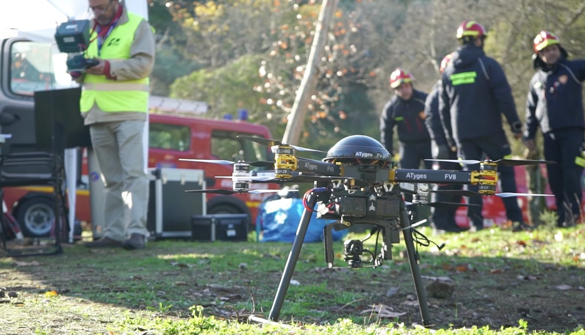
The first emergency drone application took place in 2014, in a gas explosion in midtown Manhattan. It was in that incident that RPAS was first used to obtain a complete aerial view and the actual range of the flames.
Besides, the police used drones in the subsequent reconstruction of the events and damage assessment. Shortly after that, New York City signed an agreement with the Federal Aviation Administration (FAA) to authorise the flight of drones in these emergencies.
And what about Spain? In our country, the different security forces make extensive use of drones for traffic control, coastal surveillance, searches for missing persons, fire prevention, or hostage detection in kidnappings using thermography, among many other applications.
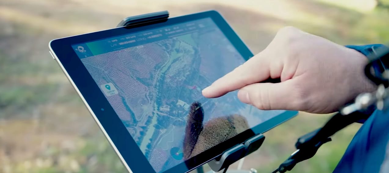
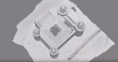
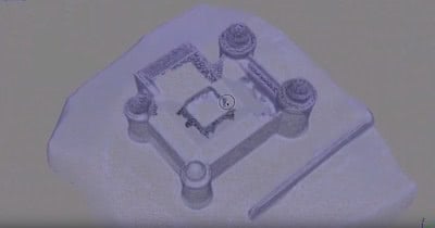
One of the best mapping apps is Skycatch, the world’s leading commercial data software company, has developed its mapping application for drones in collaboration with DJI. It also supports the entire DJI Phantom series, both Advanced and Professional, and all DJI Inspire.
With Skycatch, you only need to determine the area to be photographed, and the application will automatically generate the flight path autonomously.
The software generates high-resolution 3D maps, with which you can analyse terrain, calculate logistics, plan actions, study the evolution of projects and make detailed reports.
When planning the day of flight and establishing a weather forecast, these three applications are the most used. Although all three generate data on the weather where we want to fly, each of them has unusual peculiarities.
Drone Buddy, because of its intuitive and straightforward design, is the perfect tool for beginner pilots. In addition to the essential data to work with drones, such as wind speed or solar time, this app offers an updated map with more than 5,000 airports and restricted flight zones.
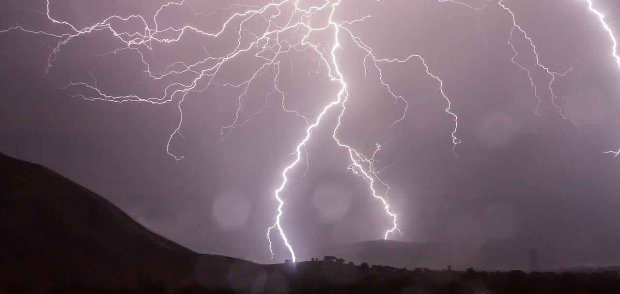
Magnetology is excellent to study the behaviour of geomagnetic storms and avoid them in our flights. If you don’t want to lose control of the drone due to the influence of the waves generated by these weather phenomena, it is better to consider it every time we go flying.
And for a detailed weather report, updated every hour via satellite, and with a forecast of up to 7 days in the premium version, we have the UAV Forecast app.
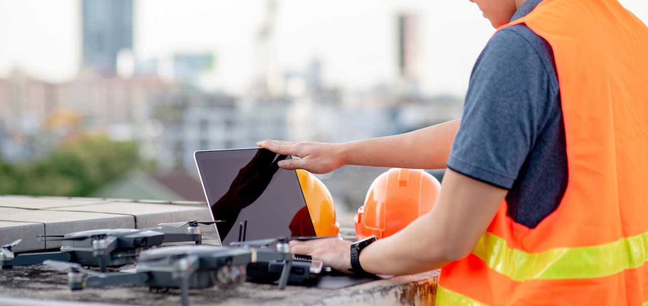
The following applications are excellent for tracking, flight control and monitoring of drone routes.
To accurately measure the route to be followed with the drone. Mide Mapas is an application capable of extracting the measurements in-plane or perimeter of any distance on Google Maps.
This tool is perfect for marking the route points to be followed on the map. Besides, it gives us the option to export them to the drone to facilitate navigation.
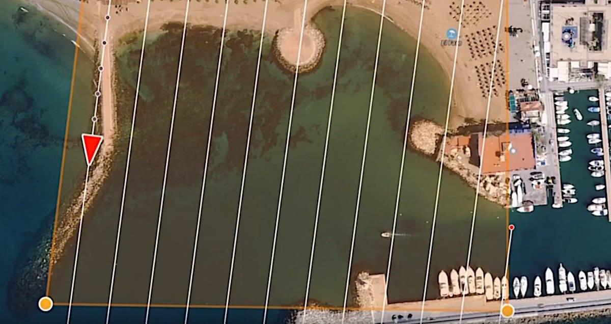
On the other hand, GPS Plan is useful to know the satellites that can be used at any moment, according to our position. With its ultra-defined graphics, it will tell us precisely which ones are available in GPS and Galileo or Glonass.
And to finish the list, one of the favourites among DJI drone users: the Litchi application, compatible with the Spark, Mavic, Inspire and Phantom series. This app offers multiple standalone recording options, such as panorama mode, orbital mode, the popular follow me or focal mode.
Here you can see a comparison of the five best mapping apps for drones: Pix4D, FPV Camera, Drone Deploy, Altizure and Commander.
Currently, in Spain, these are the most popular general websites for job searches. In them, you will be able to find job offers for drone pilots traditionally: diving between categories or searching by location.
We recommend you to update your CV, be creative and above all, stand out from the rest of the candidates so that your future recruiters can see your full potential.
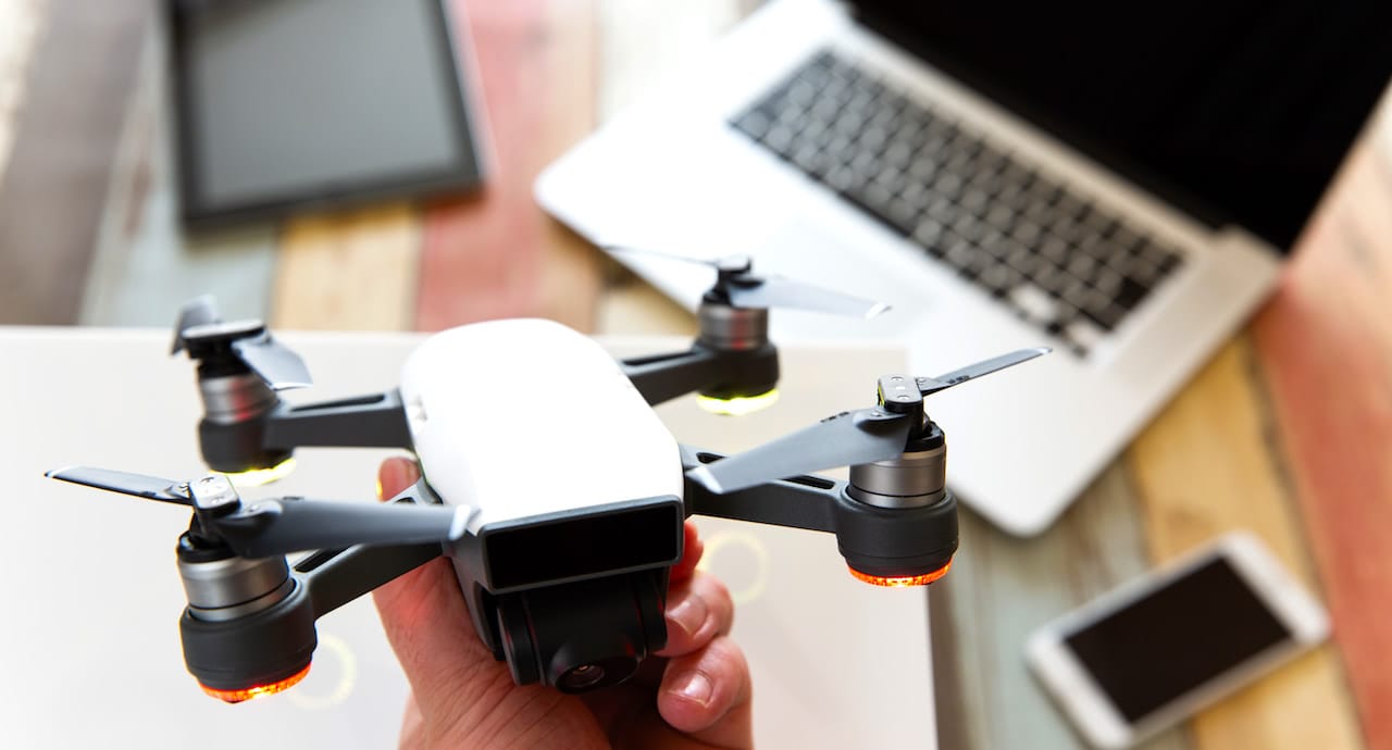
Generic websites are a great way to get in touch with the media and why not, to take them into account in our general job search. Even so, we recommend that you focus most of your efforts on job searches on specific drone work sites.
Specialised drone job boards have multiplied in recent years as jobs with RPAS in industry sectors have advanced and increased in demand. And, as you know, this trend is expected to continue upwards in the coming decades.
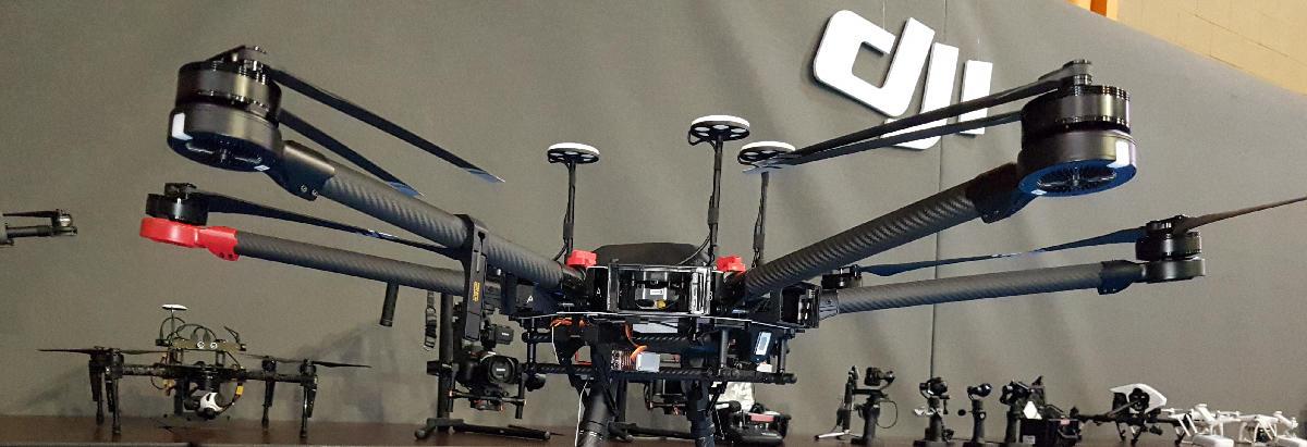
The flow of job offers for drone pilots has been frantic over the last few years, and this is why a multitude of portals have emerged to meet the demand. These sites also offer both students of drone courses and trained pilots the opportunity to see which sectors and profiles are most in need.
But when we talk about websites that specialise in job offers for drone pilots, which sites are we talking about? We’ll tell you.
On this website, services are offered to hire professional pilots and drone operators around the world. Moreover, companies like National Geographic or Discovery Channel, trust it to find pilots for their projects.
This site is a job search web for drone pilots, mainly in the USA. In it, not only companies offer jobs for pilots but also allows to register in an intuitive directory and be found by the companies.
JobtoDron is the biggest job search platform to work with drones in Spain. Here you can find specific jobs, offer your audiovisual work to companies that require it or even get information on the latest news in the sector.
We are in the age of the social, so in the drone sector, we would be no less. When looking for jobs with drones, it’s essential to have contacts. When jobs come up, or pilots are needed for specific projects, it’s usually making use of acquaintances.
For this reason, it is highly recommended you to get involved in the drone community in your area; you will connect with more pilots and operators who will most likely consider you for future collaborations.
You should also visit the DronesMalaga website if you are looking for a job as a drone pilot. In his blog, you will be informed about the current events and curiosities of the sector. Also, you will be able to get specific training to complete your drone license or get it, if you don’t have it yet.
In the drone sector, it is of vital importance to integrate into the community of pilots in your area.
Its massive English-language drone forum is one of the largest on the Internet. In its threads, you can exchange, after registration, information about drone models, tips, specifications, applications, jobs, sectors to explore, etc.
Besides, you can find specific sections of the most popular drones, to consult technical topics and particular functionalities.
Espacio Drone is a community of Spanish-speaking pilots and drone fans, very popular in Spain. In their web, you will be able to keep up to date with the drone job market and, also, you will be able to establish contacts with companies, operators or pilots for future collaborations or hiring.
Its forums are among the most visited, so the information you find will be updated.
To know how much can a drone pilot earn, the first thing to consider is whether he is self-employed or employed; this will be the primary factor that will influence the salary to be received.
If an operator company employs a drone pilot, his compensation will be defined by the agreement reached with his employer at the beginning.
On the other hand, if a pilot or drone operator works as a freelance, that is, autonomously and duly registered in the relevant bodies, his salary will be defined by a series of variables that we will see below.
The salary will depend, to a certain extent, on whether the drone pilot is employed or self-employed.

The more specific and technical the project to be carried out, the more sophisticated the equipment will be to carry it out. If also the equipment is made up of relatively scarce material in the area, the professional handling it may charge more for that exclusivity.
The specialisation courses that have been carried out will obviously enrich the final result of each project; so it is licit for the fees received to be in accordance.
When people say that ‘experience is a rank’ is not a coincidence. If you already have a relevant professional background and enjoy relevance and authority in a specific sector, the salary to be received for a job will be higher.
Time is the most valuable thing we have, so the more hours the project requires, the more the fee will increase. Also, if more people are needed to sub-contract for the team, it will mean a higher cost and therefore a higher price.
When a new agent is introduced into society, there are always conservative voices given to denial and, with the drones, this was no exception. A few years ago, when the first signs of a technological revolution began to appear, some media claimed that it was a fad. Nothing could be further from the truth.
As you know, the drone industry is more active than ever. What’s more, it’s only just starting to take off and already promises to change the way we conceive of all sectors of work. According to a study by Unmanned Vehicle Systems International, more than 100,000 jobs directly related to drone flying have been created in the US alone.

In Spain, more and more companies value very positively the fact that their future employees know how to use drones, and even the workers themselves decide to study a drone course to improve their curriculum and skills.
As in the rest of the world, in Spain, the number of job opportunities involving drone training is increasing all the time. And, although the RPAS in Spain has always been associated more with leisure or a hobby, today more and more people decide to study a drone course to expand their career opportunities.
Spain, along with France, was a pioneer in legislating to regulate activities related to drone flying for non-recreational purposes.
Currently, the Ministry of Development is carrying out a plan for the strategic development of the civil sector of drones in our country. The program, which has 29 initiatives organised in 4 main areas, aims to encourage the development of the industry to place Spain at the forefront of European technology.
To this end, it is planned to implement a new regulatory framework, promote industrial development and R+D+I in the sector, carry out dissemination and public recognition actions, and encourage coordination between Public Administrations.
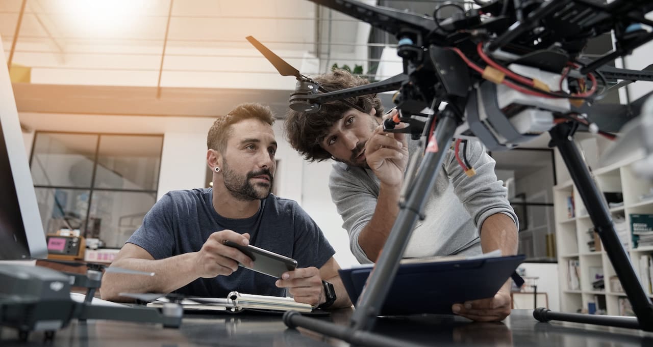
According to the International Association for Unmanned Vehicle Systems, up to 100,000 new drone-related jobs will be created worldwide in the next few years, with average salaries ranging from
According to official data, Spain currently has almost 5,000 registered drone pilots, an insufficient number for a population of nearly 50 million people.
It should be noted that drones weighing 25 kilos or less do not need authorisation from AESA to pilot their vehicles. Still, they must present a responsible statement that assures they comply with all regulations and indicate what activities they perform.
DRONES COURSE IN MALAGA
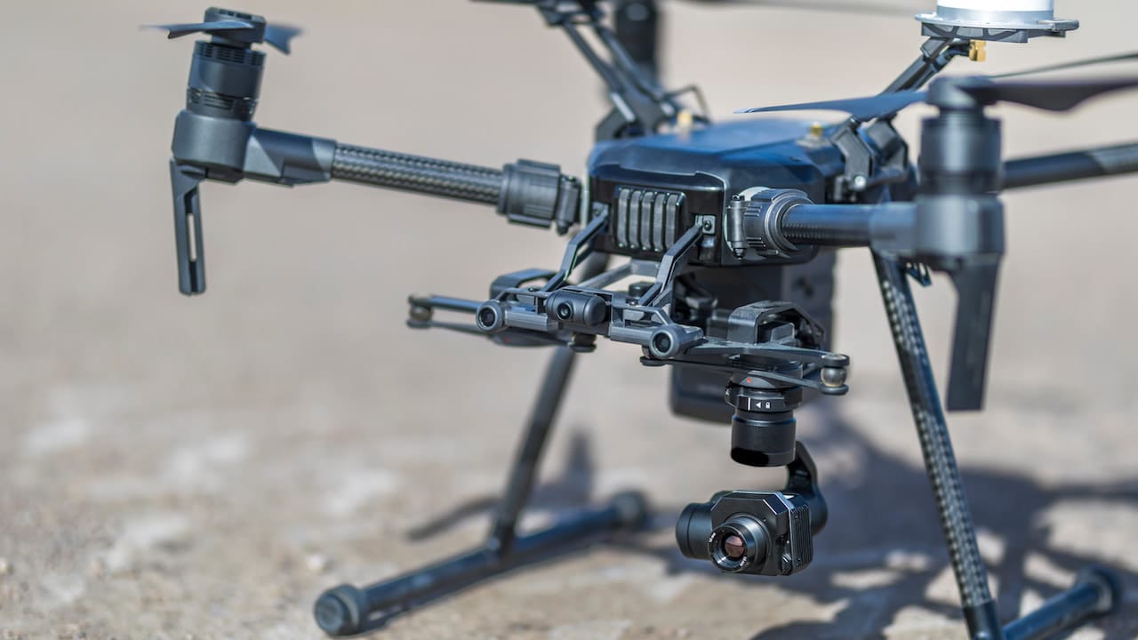
The power to work with drones comes from a lack of human resources, large farms replacing small crops, and the high cost of agricultural equipment. The automation of work will be the escape route and support for the farming sector.
Traditional farmers see in the incorporation of these new technologies, time savings and ease of work. But, faced with the threat of low prices and rising costs, farmers are forced to take advantage of all available opportunities to make their operations more efficient.
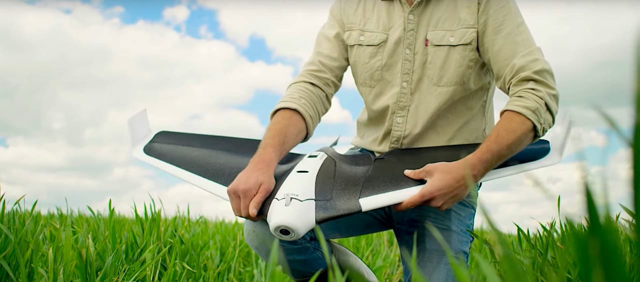
Outside the European borders, we can find precedents in Japan. For years, UAVs have been used to spray pesticides on steeply sloping fruit orchards and flooded rice fields, where access with conventional sprayers is almost impossible.
In Hanover, Germany, researchers at the University of Leibniz are developing an infrared laser that can precisely remove weeds by examining their shapes and destroying any malignant shoots at the root.

Similarly, companies in the sector such as CattelWatch and SmarTrac are offering rolls, collars and digitised ear tags, to detect the health status of each animal within thirty seconds.
What does this impending agricultural revolution we are witnessing remind us of? It certainly takes us back to the 1950s, 1960s and 1970s, when the introduction of hybrid seeds, synthetic fertilisers and pesticides doubled global cereal grain production. This significant change was known as the ‘Green Revolution’.
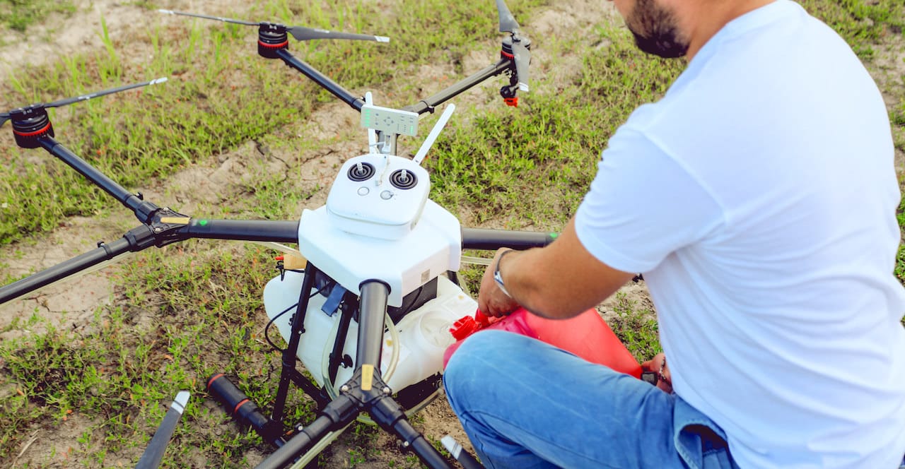
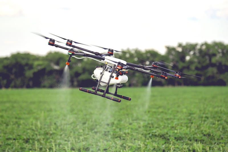
The DJI Agras MG-1S is a drone that integrates advanced technologies for the work of fumigation. This RPAS comes with a radar detection system and provides us with maximum reliability.
Also, the spraying system and the quantity sensor, allow to carry out the spraying works in a much more efficient and precise way.
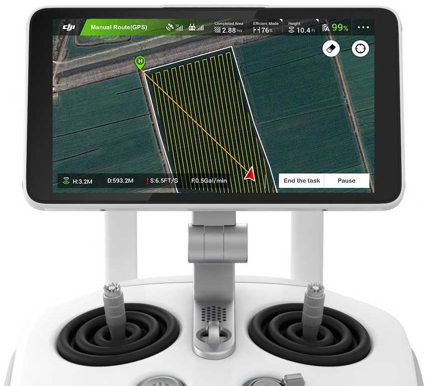
This powerful drone can handle up to 10 kg of liquid products, including pesticides and fertilisers. It combines speed and enough power to cover up to 6,000 m2 in just 10 minutes. Its intelligent system adjusts the volume according to the speed of flight, applying sustained and continuous spraying that allows an equal control of spraying in all programmed areas.
In this way, it is applied whether a pesticide has been chosen or we are fertilising with precision, avoiding contamination and lowering costs in the operations.
CURIOSITIES
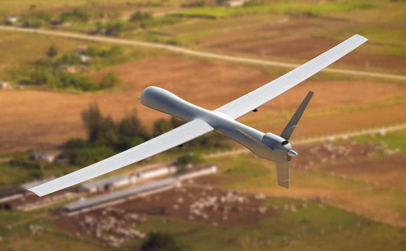
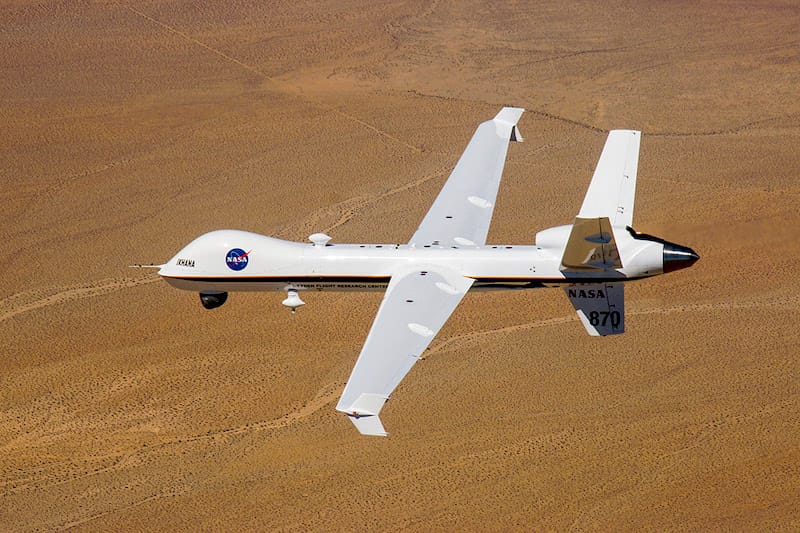
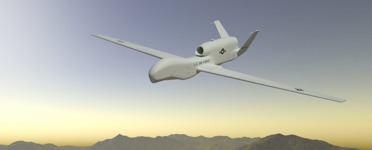
The Global Hawk is the drone used by NASA for space, weather and environmental works. In addition, the US Government has been using it as a spy drone for almost ten years.
The use of drones in nature and the environment is one of the most common applications of RPAS; but did you know that they can also be used under the sea? They are the drones for predicting hurricanes — one more sample of the career opportunities as a drone pilot.
Robotic drones, remotely controlled from the coast, can get into the heart of the storm. They provide real-time information via satellite to the team of scientists, who monitor the action from the ground.

This new RPAS application has been developed jointly by the universities of Maine, Maryland, Rutgers and the Gulf of Maine Research Institute. Among the most important data discovered is water temperature, an essential tool for predicting storm intensity.
During the test, the submarine drones were launched about 160 km off the east coast of the USA, with a depth of between 30 and 90 metres. The objective: to measure water temperature, salinity and density before, during and even after the passage of a storm.
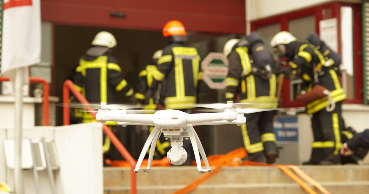
The social work of the drones is now more than well known, especially when it comes to ensuring the safety of people, be they civilians or the security forces themselves.
As we mentioned at the beginning of the post, the first time drones were used for firefighting work was in New York, in the fatal fire in which three people died. Since then, there have been numerous applications of drones in emergencies.
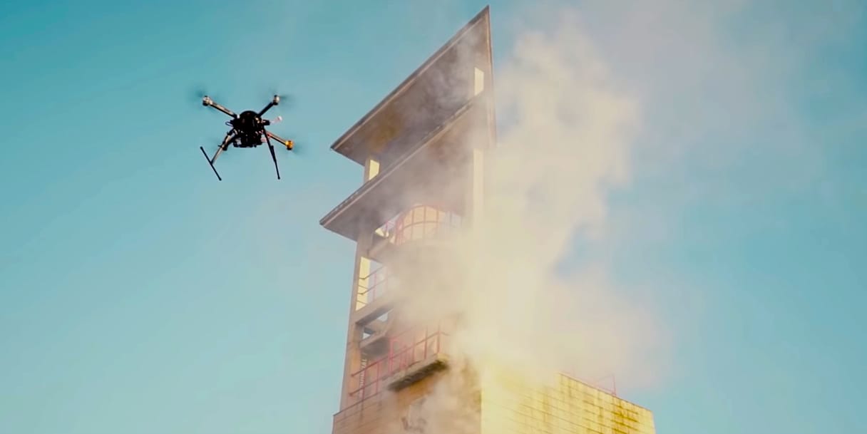
In Spain, for example, they are used in fire prevention work, monitoring critical conservation areas from the air. In addition, drones are also used to calculate the magnitude of the fire and monitor its progress when the alarm has already occurred.
The drones are then used to assess the extent of the caused damage and to help plan strategies to replace the losses incurred.

Another significant advance that has meant the integration of drones in firefighting work is the possibility of using them for the search and rescue of missing people.
Drones are a primary tool in this regard, and when the protocol is activated in an emergency, agility and efficiency are essential. In fact, drones with thermal cameras can scan several kilometres of terrain in a few minutes, which would conventionally take days.
ALSO ONLINE
In our drone pilot school in Málaga, you will be able to work as a professional drone pilot with all the guarantees. In addition, we offer you ratings with the latest models of DJI drones.

To provide the best experiences, we use technologies such as cookies to store and/or access information on your device. Consenting to these technologies will allow us to process data such as browsing behaviour or unique identifiers on this site. Not consenting, or withdrawing consent, may adversely affect certain features and functions.
