During the past few years, demand for aviation has escalated in a brisk historical pace. With the increasing demand for the aviation industry, many subsidiaries like unmanned aircraft industry extended their wings broader. Next, we will be telling you about relevance of industrial drones for companies.
THE DRONE INDUSTRY
Fresh air for all business sectors
The first appearance of drones industry was made through military applications decades ago; but, nowadays, drones have become more generic among the general public while becoming an essential paramount tool that has created a new generation of drone pilot jobs.
So far drones have come a long way, and as a result of that, it’s possible to find drones specialised for several tasks by depending on their specifications. There are specially trained people and organisations dedicated to each drone type and their applications.
How much is the drone industry worth?
According to a PwC study, the international market for services using drones reaches a potential value of 127 billion dollars.
It is more than likely that the industry occupies most of that value with a representation of 45 billion dollars, followed closely by agriculture in second place with 32 billion dollars. Drone delivery industry, media, security or entertainment, would also occupy a large part of the forecast, adding up to almost 40 billion. Mining and telecommunications are the other two sectors that would benefit the most from the drone industry.
Ultimately the unmanned aircraft industry has become a place that generates a massive revenue with a great workforce all around the globe. Next, we will be reviewing what industries use drones and how they use them for their tasks.
AERIAL PHOTOGRAPHY WITH INDUSTRIAL DRONES
Aerial photography experienced a burgeoning growth with the introduction of drones. Days before the arrival of drones, photographers had to seek the assistance of a helicopter to shoot aerial photographs, but things have changed in with drones.
Nowadays, it costs only a few hundred dollars and a little bit of training to take aerial photographs by a drone. Most of the drones in the market come with an inbuilt camera or a mounting pad to accommodate a GoPro or any other shooting device. Introduction of drones resulted in the dawn of a new era in the photography industry significantly in weddings and event coverages.
Which components has the perfect photographic drone?
As aerial photography has become a professional job, many standards have built upon it. An average photographic drone that weights around 1.5 Kgs and with an integrated Lithium Polymer battery whose capacity is around 6000 mAh can allow the drone to stay airborne up to half an hour.
The camera of these photographic drones should possess excellent characteristics when compared to other purpose drones. 1/2.3” CMOS sensor is the preference of most photographic drone companies while the resolution hovers around 12 megapixels.
Frequently the drone has a bunch of different photography modes: Single shot, Burst shot, Auto Exposure Bracketing (for high contrast scenes), EV Bias, Timelapse or HDR mode. Most pertaining mode should be selected by the photographer to gain the maximum out from the drone.
The camera is installed on a gimbal to achieve the stabilisation along the triple axis (pitch, roll and yaw). Gimbal plays an important part when taking action shots rather than the panorama shots. Max controllable angular speed and angular control accuracy of the gimbal can decide the integrity of the action shot.
Best photography drones
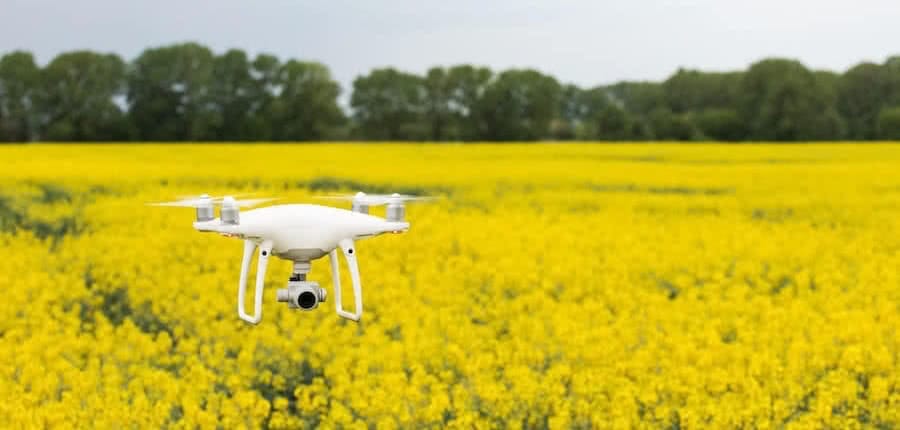
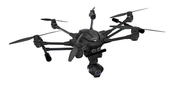
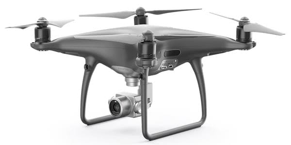
Max flight speed, max acceleration and deceleration also can play a vital role depending on the nature of the task. DJI Phantom 4 having the ability to fly at a 42-degree tilt angle while Yuneec Typhoon H Pro can tilt up to 35-degrees during the flight.
Wind resistance is another specification that includes the list of features to elaborate on the superiority of photographic drones. Using a satellite positioning system like GPS/GLONASS uplifts the hover accuracy of the drone both vertically and horizontally. In real life, a drone belongs to this category can withstand a wind that blows at a speed of 10 m/s without affecting the image quality.
When looking at the command and control part, a 2.4GHz radio link is used, and the total of channels may vary from one design to another. Some drones having the ‘follow me’ feature to shoot images while the object is in movement and automatic obstacle avoiding system to avoid incoming obstacles during the follow me mode.
Most of the photographic drones are capable of climbing up to a higher altitude, but it’s restricted by the AESA law, stating that drones should never fly beyond the Line Of Sight (LOS) and an altitude exceeding 120 meters. It’s mandatory to register the drone before taking it into the sky.
Pilot flying should possess a valid drone piloting license issued AESA or by a competent authority who possess the jurisdiction of drone operations over the land. The law enforcement related to the drones is done by AESA, and it imposes rules and regulations while handling drone registration and licensing services. AESA web clearly defines all the restrictions, rules and regulations that should be taken into consideration before taking the drone into the sky.
AERIAL VIDEOGRAPHY WITH INDUSTRIAL DRONES
Promotional videos for universities, schools, institutes and organisations have made a most significant impact on the video filming industry while wedding videography has become a factor that appreciates the demand for professional wedding videographers. Oneairpictures.com is the perfect example of the application of drones in the field of wedding videography.
Drones have become the perfect match for shooting aerial videos for films as well.
A drone used for videography also shares all most same specifications which were possessed by aerial photographic drones, which are explained in the above paragraphs. In most cases, it’s possible to use the same drone that used for photography to capture videos as well.
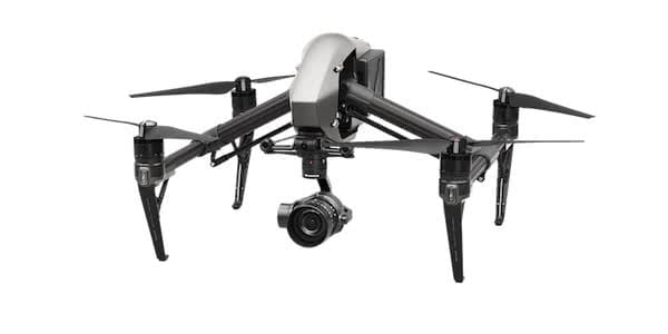
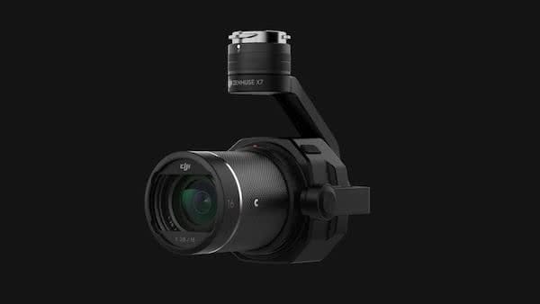
Video filming by a drone can be executed under different kinds of modes including the 6K mode, supported the Inspire 2 with its Zenmuse X7 camera; the Ultra High Definition mode (UHD 4K); the Full High Definition mode (FHD 2K); and the High Definition (HD 1080p) mode. The time of filming is governed by the battery life of the drone and the capacity of the onboard memory device. Max video bitrate is 60-100 Mbps in these types of drones, and a 5.8 GHz video downlink is used to transmit recording videos towards the ground control unit.
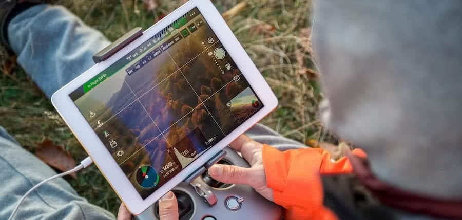
All the ground control units incorporate a digital display which shows all necessary parameters that assist in manoeuvring the drone more smoothly and accordingly. ‘Follow me’ feature is significantly used during sports events coverages to enhance the realistic nature of the footage following the object or person we want to record.
DJI drones offer excellent options for videographers. But without a doubt, both for photography and aerial recording, the DJI Inspire 2 is a significant leap in excellence. The main attraction of this RPA is the possibility of coupling various cameras to accommodate a multitude of shots. Besides, the Inspire 2 allows the independent work of the pilot and the camera operator, thanks to the second station.
Among the most demanded options, there is the combination of the professional camera DJI Zenmuse with any objective of the Zenmuse series. This duo will provide exceptional results but, the Zenmuse X7 will delight the most demanding videographer recording in CinemaDNG format at 6k or Apple ProRes at 5.2k on Raw, being able to reach other resolutions up to 60 fps.
AIR CONTROL AND SURVEILLANCE WITH INDUSTRIAL DRONES
Being small in size and less noise during the operations makes the drones superlative for surveillance and security tasks. Due to the smaller size, they can fly through very confined spaces and reach inaccessible locations by the humans.
They generate a negligible amount of noise when compared to human-crewed aerial vehicles; hence drones can stay airborne for a more extended time without being noticed by anyone.
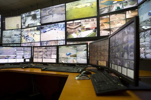
As drones can climb to a considerable altitude they have a more significant footprint over a broad range; hence it’s possible to carry out surveillance activities with the help of drones. If the same task is had to accomplish by helicopters, it would cost a more massive amount of expenditure with the addition to a lot of human efforts. Up to now, drones are the most efficient and more comfortable way to conduct such surveillance activities.
What are the smallest industrial drones for surveillance?
In the market, there is a large variety of small drones. The leisure sector, more than that of the industrial drones, is specialized in these small aeroplanes so easy to fly. Some may come equipped with a camera good enough to be used for small-scale surveillance tasks.
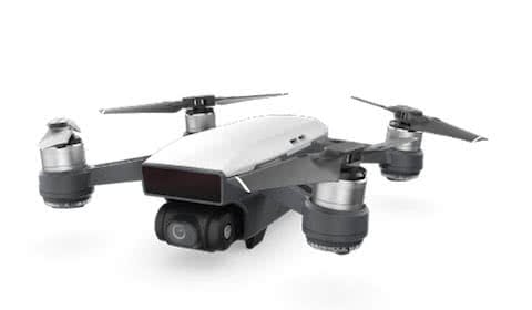
For example, this is the case of DJI Spark, DJI’s smallest drone. The Spark series is easy to fly and ideally allows its use as a small space control drone.
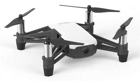
The most economical option could be found in Tello Drones. The drone Tello is super reduced size to fly smoothly in very tight spaces.
Forest control with drones
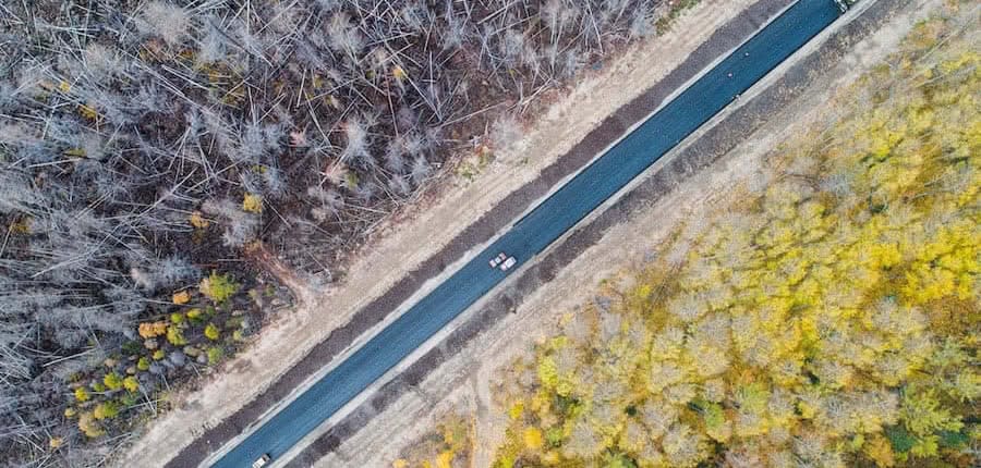
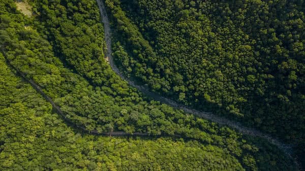
Forest control is a major field that is vastly assisted by the Remotely Piloted Aircraft (RPA) usage. Human patrols to safeguard the forests are no longer needed due to the introduction of drone technology. They possess unmatched abilities when compared to a human patrol team. These drones can fly autonomously when the waypoints are predefined and having auto-takeoff and auto-landing features.
Most of the surveillance drones are fitted with thermal cameras to identify heat sources like humans and animals within the forest. The aid of onboard thermal camera easily identifies illegal tree fellers and hunters. With the assistance of satellite positioning systems like GPS, it’s possible to pinpoint the location of convicts.
With those reliable details, a team can be dispatched to the location to arrest convicts while tracking their movements from the drone. A night vision camera is the best suit for night time operations and gives superior clues when used in conjunction with the thermal camera.
Drones for a better road traffic management
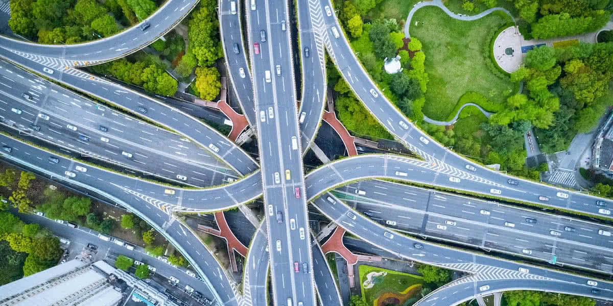
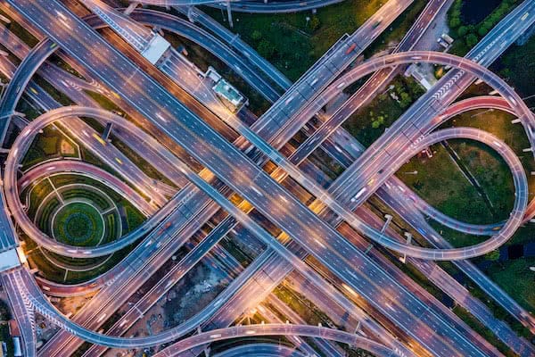
The Road Safety departments of many countries have already taken initiatives to implement drones for traffic management activities. The authorities have always used helicopters to report the level of traffic along the roads; but, currently, they are replacing them with drones with a lot of additional advantages.
The recordings can be used to evaluate traffic density. The information collected by the drones can also be used to plan the routes of VIP people and agents; and, thus, scan the roads to ensure safety.
The Vanguard drone and the Falcon X4 drone are examples of complete surveillance drones. Others need thermal cameras, such as FLIR Duo Pro R and Flytron V3, to maximize their capabilities. The DJI giant also has an exciting option: the DJI Mavic Enterprise with its high precision thermal camera is an excellent tool for this kind of tasks.
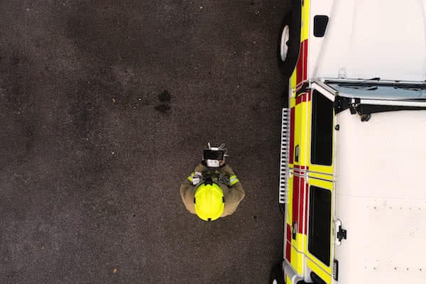
Remember that a drone pilot must have specialized training and certifications to control unmanned aircraft by remote control. Drone licenses must be issued by official organizations authorized by AESA under EASA regulations.
AID AND RESCUE WITH INDUSTRIAL DRONES
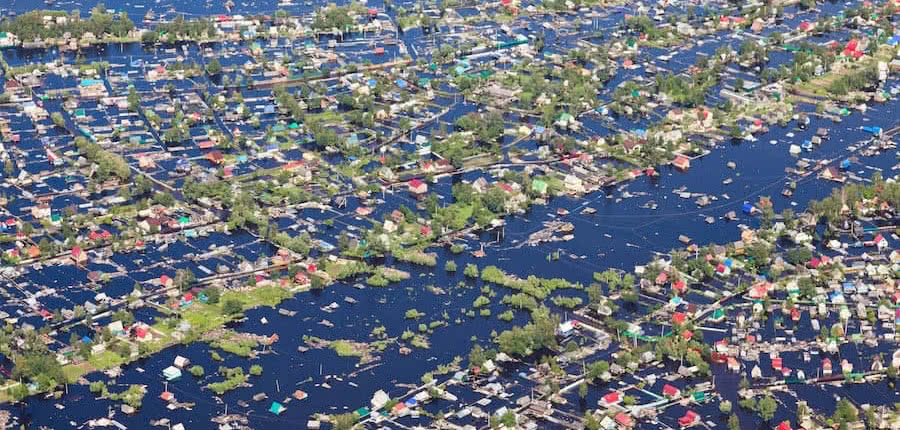
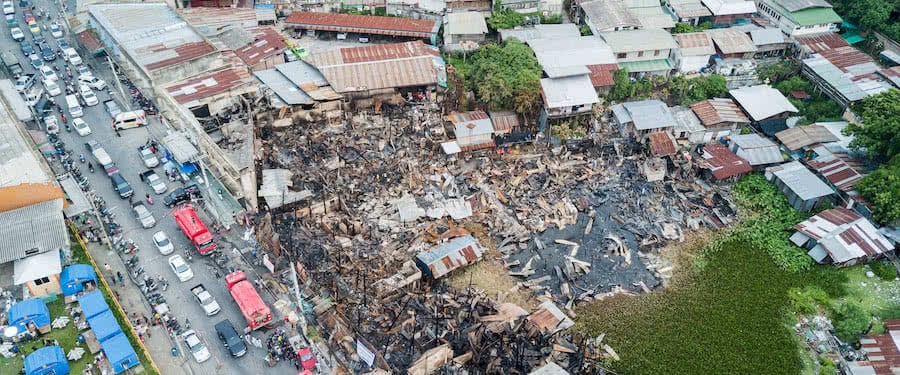
Quick response after a disaster is the best way to reduce its severity but, at the same time, it is the most difficult task to carry out. Road blockages and inaccessible locations retard the access of salvation units to the location. One minute means everything for some victims in such situations; hence prime concern should be given to the time by reaching the victims as soon as possible.
In some occasions depending on the prevailing situation, it might not be the best option to send humans for the support. To cater to all of the above demands something unmanned should be called upon for the assistance. An unmanned aircraft or a drone is the best solution, and it can be used in almost any condition.
Drones which are intended for aid and rescue should come with extra capabilities when compared to general photographic drones. Extended battery life that allows a longer range and higher flying time is a crucial feature in this drone category. They are designed to carry extra weights and have mounting pads to mount things like a first aid kit or an emergency medical equipment.
Structure and the circuitry of the industrial drone should be robust to withstand harsh operating environments while it can be subjected to higher temperatures. Camera, one of the key feature in most of the drones can’t be forgotten even in this category as well. An onboard camera can be used to have a clear view over the scene, and depending on the visuals decisions can be made. Hence drone assists in ascertaining the severity of damage.
Put out a fire with drones
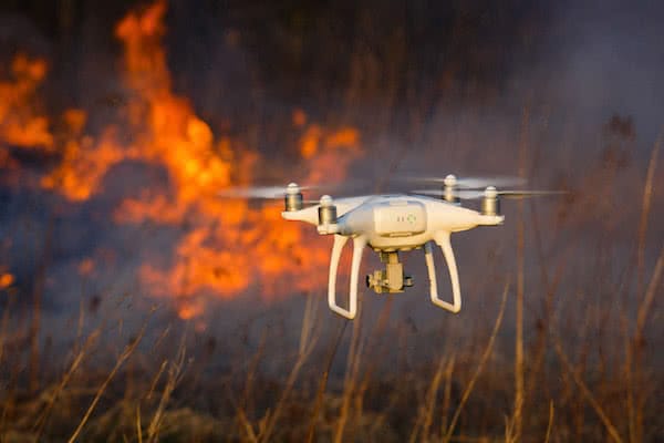
Industrial drones that are intended to interfere with fire should withstand higher temperatures, and there are prototypes in the development stage that are designed to withstand up to 1,000ºC. The core of fire and trapped peoples can be identified by the help of an onboard thermal camera.
M200 drone built by DJI is extensively used for many search and rescue operations. They can carry extra weight around 2.5 Kgs and having an operating temperature between -20° to 45° C. These drones can be fitted with 2 batteries that extends the flying time with the compensation of payload.
Aid and rescue drones can be utilised in perimeter surveillance and law enforcement as well. During special events and on occasions where VIP people are present security is the most critical factor, and these drones are used to carry out inspections within a specific perimeter.
Maritime rescue is another field that uses drones to save people using drones with thermal cameras. Even they can use drones to deliver lifebuoy rings to drowning people and act as guider to guide lost people to land with the use of an external lighting system.
In some regions of Spain, a small fleet of drones are maintained as a part of the firefighting team, and they are receiving support from Spain government to develop this unit all over the country. Flying a drone as a part of firefighting measures isn’t an easy task. They have to go through many training sessions and need to be versed in both firefighting and drone flying.
AGRICULTURAL ACTIVITIES WITH INDUSTRIAL DRONES
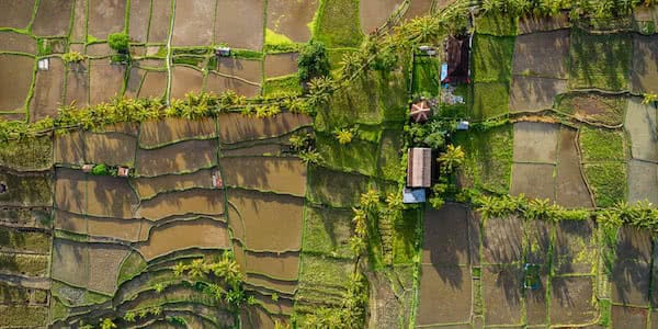
Industrial drone market escalated the profits in agriculture industry within a minimum amount of time from the introduction. Nowadays drones are a part of every stage of the plantation.
At the early stage of planting a new plant or a seed, the soil should be analysed to ascertain it’s compatibility with the plant or seed. 3D mapping done by the drones can be used for these kinds of analysis.
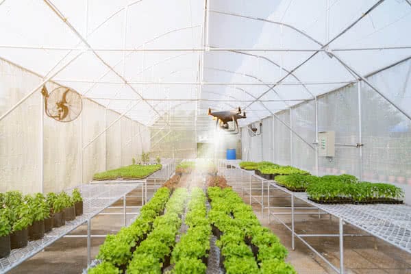
In the next stages of the plantation, drones are used to plan the planting patterns over the land, spraying chemicals to control pests and bacteria, spraying fertilisers to the plants, monitoring the plants, calculation of the vegetation index and the heat signature of plants using a thermal camera. Multispectral imaging camera in the drone can be utilised to identify climatology in the cultivation to manage irrigation activities.
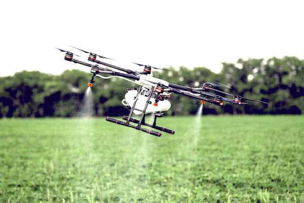
In the stage of the treatment of possible pests, the fumigation with drones considerably facilitates this necessary work. In addition to carrying out the task more efficiently, the risks of operator intoxication are drastically reduced; this is possible because of the possibility of offering the fumigation service from a long distance.
What is the best industrial drone for fumigation tasks?
Fixed wing drones like senseFly eBee SQ provides all in one agro needs. These types of drones are capable of flying for prolong periods and having a long range. An eBee SQ is having 55 minutes of flying time and a 41 km of range.
Drone companies have taken measures to simplify the drone; hence farmers can operate the drone themselves after a familiarisation training without seeking assistance from any third-party organisations.
Drones can be used to take Orographic images of cultivations, and thermal camera in the drone is utilised to depict the Normalized Difference Vegetation Index (NDVI) of the plantation. The value of NDVI helps to identify the areas of varying levels of plant biomass.
DJI Agras MG-1
Specially designed for fumigation tasks
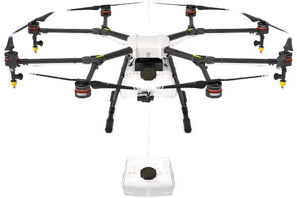
As it could not be otherwise, DJI has the octocopter DJI Agras MG-1, equipped as everything necessary for the most demanding agricultural tasks.
The propulsion system of the DJI Agras MG-1 is capable of supporting up to 10 kg of liquid cargo, such as pesticides or fertilisers. DJI’s octocopter is up to 60 times faster than manual spraying and can cover an area of 4-6 km2 in just 10 minutes.
Besides, the sealed body of MG-1 has been designed with an integrated centrifugal cooling system, to avoid early degradation of the components by continuous exposure to heat, dust and dirt.
INDUSTRIAL DRONES IN MAINTENANCE TASKS
As General Visual Inspection (GVI) is a part of many routine maintenance activities, drones can be used for these inspections. Mainly in industries, where large infrastructures and machines are involved, they can be inspected easily with a drone. Initiatives have taken to use drones in the aircraft maintenance field to inspect aircraft as a part of routine GVI.
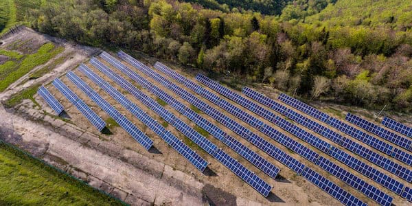
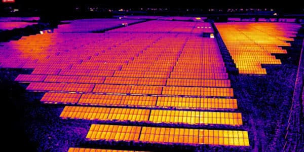
With the usage of drones, the upper section of the aircraft fuselage can be inspected easily without using large steps and platforms. Even these drones are well in use to inspect the solar panels in solar farms as an industrial drone inspection. Industrial drones which are dedicated to aerial photography can be utilised for these tasks. Thermal images of machines and infrastructures can depict the areas with deviations that aids in identifying hidden flaws.
One of the best drones for this task could be the DJI Matrice 210 RTK industrial drone. Its ruggedness, the durability of the battery and the specifications of its camera make the DJI Matrice industrial drone a real work beast.
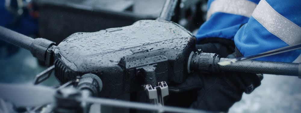
A fascinating thing about Matrice RTK is its impermeability. The body is designed to withstand the most adverse conditions. With high-performance engines and 17 ‘ propellers, the Matrice is tremendously stable with winds of up to 35 km / h.
On the other hand, the dual battery system is responsible for automatically heating the drone when flying at below zero temperatures. All this, together with the IP43 protection, makes the DJI Matrice well isolated to be able to operate in all kinds of environments.
MAPPING AND TOPOGRAPHY WITH INDUSTRIAL DRONES
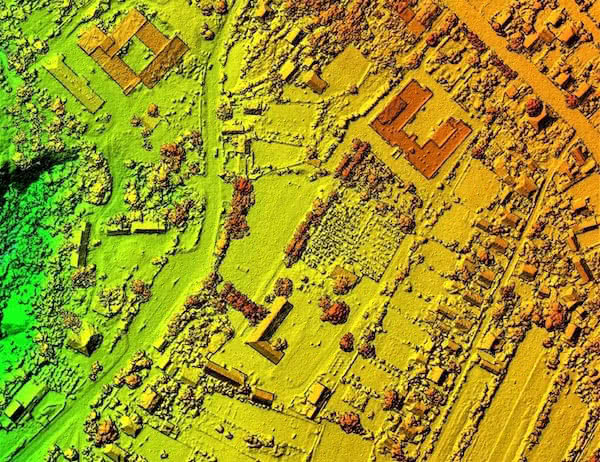
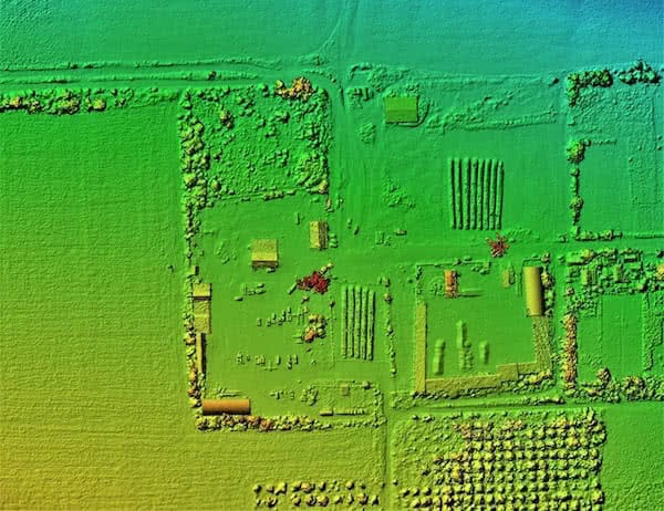
Mapping and surveying were tedious tasks that took months and untiring efforts of many people. However, with the drones mapping and topography has been very smarter and fast, even the accuracy has incremented significantly.
Data from the satellite positioning system inbuilt to the drone is extensively used during this process. With the use of GPS, a mapping and topographic job can be accomplished within a few hours saving a vast amount of valuable time.
VOLUME MEASUREMENT WITH INDUSTRIAL DRONES
Decades ago measuring the volume of various 3D objects and shapes was a total mess. Hundreds of people were engaged while using many measuring instruments although it took months to get a result. Even the result had a significant tolerance. A drone can accomplish the same task within a few hours up to pinpoint accuracy. The drone saves thousands of dollars and time.
In construction industry drones are used to calculate the volume of stockpiles. This process takes only several minutes to give out the results. A drone company named Kespry claims that their drones are capable of fly automatically over 150 acres site with 100 stockpiles in less than 30 minutes. Aerial data recorded within this time is converted to different formats including maps, contours, elevations and 3D models.
Mavic drones, such as DJI Mavic Pro, DJI Mavic Air or DJI Mavic Enterprise can perform measurement tasks with high precision and a negligible margin of error.
SUPERVISING ATHLETES WITH INDUSTRIAL DRONES
Drones which are having the ‘follow me’ feature are used for athlete training activities. A drone can follow the athlete while filming the athlete’s actions. These recorded footages are used by trainers to assess the athletes.
Movements made by the athlete can be examined at proximity with the aid of high definition onboard camera that makes the task of identifying athletes wrong technical moves more quickly.
A drone can be placed at any angle that is needed by the trainer to examine the athlete. Drones like GoPro Karma, DJI Phantom 4, DJI Mavic and Yuneec Breeze are perfect fits for this task.
INDUSTRIAL DRONES SUPPORTING SCIENCE
Many scientific investigations use drones to collect samples from inaccessible places. Amphibious drones are used to collect samples of aquatic organisms. They can be used in any hazardous environment that is created due to rigorous testing.
Some scientific tests could generate toxic fumes, radiation and unexpected explosions. Therefore, humans stay away from the scene and drones are introduced into this environment to capture the reactions of the experiments.
For the maintenance and service of nuclear power plants, personalized drone services are the best option.
USING INDUSTRIAL DRONES FOR METEOROLOGY
Many aeronautical organisations and meteorology departments are taking the help of unmanned vehicles to collect data about the weather. These kinds of drones are having a longer flight time, more extensive range and a high ceiling altitude.
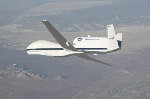
Global Hawk is a drone owned by NASA which is used to collect data by flying into storms and hurricanes. By going through the hurricane, it collects data needed to make weather predictions. Due to the high-end devices used in these drones, predictions have become more accurate over time.
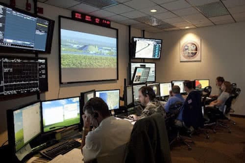
Drones which are more prominent in size like Global Hawk can fly continuously up to 24 hours and having a higher range. Specialised training is needed to command these drones while most of the drones are autonomously controlled, a separate control centre oversees the operations and collection of data of the drone.
THE FUTURE OF DRONES INDUSTRY
New inventions as a result of the intuition of humankind paved the way for a better life. When Wright brothers first flew their aircraft just for few meters they might never think about an unmanned aircraft that can fly for miles hovering in the air for hours.
Drones have come a long way, and it’s convinced by the vast number of applications broadly discussed in the above paragraphs. Drones will keep on evolving, and ultimately drones will be a most needed gadget to continue human life just like smartphones.
Phone
Reserve your place
951 211 333
If you think your future is up in the air, become a drone pilot in One Air Aviation, E-ATO 190 authorized by AESA.
ONE AIR AVIATION GROUP
C/ JAEN, 9 – GALIA CENTER BLD.
GROUND FLOOR, 10
29004 – MALAGA
SPAIN
